


As the weather warms up, it’s time to start thinking about places to go to cool off. How about a visit to one of Lewis County’s glacier-fed rivers or scenic lakes? Our county offers a wide variety of recreational opportunities both in and on the water. Before you go, check out the incredible histories behind the names of these Lewis County waters in part 2 of The Story of Lewis County Waters.
Cowlitz River
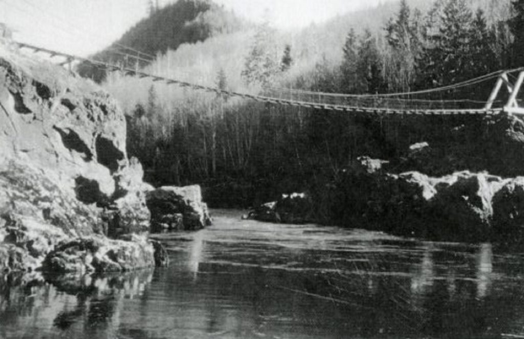
A tributary of the Columbia River, the Cowlitz River begins on the slopes of Mount Rainier. Fed by glacial streams, the river passes through most of East Lewis County, fills up Riffe Lake and Lake Mayfield, and flows down past Toledo on its 105-mile journey to the mighty Columbia. It takes its name from the Native peoples who have lived along its shores for countless generations and who still have a close connection to this place.
Lewis and Clark noted that the local Indians called the river “Coweliske,” a name that was said to mean “capturing the medicine spirit” and was also applied to the local tribes. The Taidnapam people who lived close to the river’s headwaters in what is now East Lewis County were called the Upper Cowlitz, and those living near the lower end of the river starting near present-day Toledo were called the Lower Cowlitz.
The river and its tributaries have been central to Cowlitz life since time immemorial — and still hold an important place in Cowlitz culture today. Villages once dotted its shores, and the people relied on the river for food and transportation. They fished for lamprey, sturgeon and salmon and skillfully navigated its waters with their brilliantly-constructed canoes. After the arrival of traders and settlers, the river served as an important water highway between the Columbia River and Puget Sound. Steamboats once chugged up and down the river, transporting goods and passengers from Vancouver to Cowlitz Landing near present-day Toledo.
Today, the river plays an essential role in Lewis County, from providing electricity through its three hydroelectric dams to producing millions of fish yearly at its salmon and trout hatcheries. Its natural beauty and abundance of fish make the Cowlitz River a popular destination for sportfishing, boating and camping.

Fort Borst Lake
Although small, Fort Borst Lake in Fort Borst Park is a well-known landmark in Centralia. The lake and park share a name with the historic blockhouse that currently sits near the park’s entrance. Fort Borst was one of the very first forts built in Western Washington during the turbulent Indian Wars of 1855-1856.
After the conflict, early Centralia pioneer Joseph Borst bought the blockhouse and used it as a granary and later a temporary residence for his family while their home was being built. The lake, fort and park are all named after Joseph Borst, on whose original homestead land they sit.
Today, the small lake draws young anglers to its shores for the annual fishing derby in April. Many locals and visitors enjoy picnicking near the lake or walking along the park’s riverside trails. The historic Borst Home stands at the park’s south end, along with a replica schoolhouse and pioneer church.
Lincoln Creek
Lincoln Creek begins in the Doty Hills and meanders east to North Centralia, emptying into the Chehalis River at Galvin. The original Upper Chehalis name for the beautiful wooded valley with small prairies was Natchel, meaning “Place where camas grows.”
During the summers, Upper Chehalis families camped along the creek to hunt elk and deer and dry the meat on racks over slow-burning alder fires. Some settlers, misunderstanding the Chehalis name, incorrectly called it Natural Creek until, in the mid-1800s, homesteader Frank M. Rhodes, a staunch Republican, decided to change the creek’s name to honor the man he greatly admired, President Abraham Lincoln.

China Creek
Beginning east of town in Little Hanaford, China Creek runs under and through the heart of Centralia, winding past the Centralia College campus on its way to the Chehalis River. The creek has a fascinating history.
Long ago, in the years before Centralia’s founder George Washington claimed land and platted the town, a small stream flowed through the little prairie near where the Skookumchuck joins the Chehalis River. Because the creek often overflowed, the nearby prairie was wet and marsh-like. The Upper Chehalis people called this swamp-like prairie “Muckla.”
So how did it get its current name? History is a little muddy. A 1976 Chronicle story claimed China Creek was named after Chinese laborers who came to build the Northern Pacific Railroad from Kalama to Tacoma in 1872. The NPRR hired 2000 Chinese laborers from San Francisco. Local legend says the Chinese workers camped in Centralia near a creek. Some say Chinese railroad workers actually dug the creek. Still, others say the creek was dug to transport logs from mill ponds to the Chehalis River.
Whatever its origin, what most residents know about China Creek today is its notoriously bad reputation for overflowing its banks and causing localized flooding. But many may not know that up to the 1950s, the creek boasted healthy runs of salmon, cutthroat trout, and eels. It originally drained into the Skookumchuck River but later was dredged, straightened, ditched, and moved. Now the man-made creek drains into the Chehalis River.
After that, many residents took to calling the creek “China Ditch,” and some even treated it like one–dumping garbage and hazardous waste into its murky water.
Since 2008, the City of Centralia, Centralia College and the Chehalis Tribe have worked to restore salmon habitat and reduce flooding on China Creek. Centralia Stream Team volunteers removed over three tons of trash from the creek in its first year. In addition to ongoing volunteer clean-up days, efforts over the last several years have included educational programs and planting native trees, shrubs and grasses. These efforts have paid off. In 2012, returning Coho salmon were spotted for the first time in decades. While there’s still more work to be done in flood mitigation and stream restoration, the progress is encouraging. Today, students and visitors can enjoy the creek in a natural, park-like setting at the KNOLL, Centralia College’s Kaiser Natural Outdoor Learning Laboratory.

Newaukum River
The Newaukum River is a tributary of the Chehalis River in west Lewis County and shares a name with the nearby prairie. In the mid-1800s, the British Hudson’s Bay Company operated a farm site in the area which they called Nawakum. By the time the name was added to maps in 1856, the spelling had changed to Newaukum, and that’s the way it has been spelled ever since. Newaukum is thought to be derived from the Upper Chehalis word meaning “big prairie” according to one source or possibly “gently flowing waters” according to another.
Three forks of the river, North Fork, Middle Fork and South Fork, join together into the main channel of the Newaukum south of Chehalis near the small community of Forest. The river then flows northwest, joining the Chehalis River at Alexander Park.
Swofford Pond
Spanning 240 acres, Swofford Pond near the town of Mossyrock is more like a small lake than a pond. And it’s one of Lewis County’s popular year-round fishing spots. Anglers come to Swofford to catch trout, largemouth bass and giant channel catfish.
The lake and community of Swofford on the southwest side of Riffe Lake were both named after T. F. Swofford. The early pioneer settled in the area in 1887 and established a post office there in 1890. Swofford served as the town’s postmaster for several years before moving to Mossyrock.

Walupt Lake
Walupt Lake is Lewis County’s deepest and second-largest natural lake. Surrounded by steep forested hills running to a high ridgeline, this pristine body of water might just be one of Lewis County’s hidden treasures. The high-elevation lake sits tucked away in Gifford Pinchot National Forest, surrounded by the Goat Rocks Wilderness. The US Forest Service operates the popular Walupt Lake Campground and day-use area near its shore, drawing campers, boaters, hikers and anglers to explore the lake’s tranquil and clear waters.
The lake was named by Albert Hale Sylvester sometime in the early 1900s. Sylvester was an early pioneer and explorer who was a surveyor for the US Geological Survey and later for the US Forest Service. He’s credited with naming over a thousand geographical locations in the Cascade Region.
On one of his survey trips in the high country of Lewis County, Sylvester came across a deep, crater-like canyon with a body of water at the bottom. He realized the lake didn’t appear on any map. After learning from a Yakama Native that Walupt was the language name for the area, he decided to name the picturesque body of water Walupt Lake. The Yakama man told Sylvester this mysterious story about the lake, which the surveyor later wrote down:
“Once long, long ago, a great Yakima [Yakama] hunter chased a mighty deer with great spreading antlers for many days. He wasted some arrows but could never get close enough to make a kill. Finally, the deer led him to this canyon and down to the lake, where he plunged in, swam around for a while, then disappeared. Ever since then, some hunter whose chase leads him to this lake sees the great deer appear out of the water, his great antlers held high, and swimming around for a while, disappear again into the depths.”
Cispus River
The 54-mile-long Cispus River begins in a high, glacial valley in Goat Rocks Wilderness in the Gifford Pinchot National Forest. A tributary of the Cowlitz River, the Cispus flows southwest, gathering the waters of Walupt, Adams, Yellowjacket and Iron Creeks before joining the Cowlitz at Lake Scanewa. According to Walker A. Tompkins, who wrote about the early history of Big Bottom country, the river’s name is of Indian origin. The 1929 “Kionian” high school newsletter printed the following story submitted by H.K. Davis and R.T. Siler:
“Cispus was a very big Indian who never caused any trouble. He was always peaceful. He lived by a river at the foot of Tower Rock (near Randle). He carried a bow and arrow, each made of a whole fir tree. One day he leaned his bow and arrow against Tower Rock and went up the river fishing; some of his neighbors found them and hid them. When Cispus found his bow and arrow gone, he was grieved so that he cried for a week. He cried so loudly that Indians heard him on the Kiona place (several miles away). The neighbors grew sorry for Cispus and returned his bow to the rock one night. When he found the bow and arrow the next morning, he took them and went up the river towards Mt. Adams and was never heard of again. So his friends called the river Cispus in his memory.”
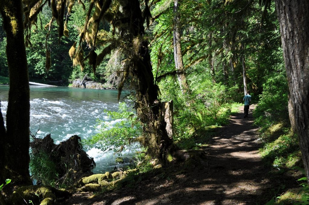
A popular recreational river since the 1950s, today, the Cispus still provides whitewater rafting and kayaking opportunities on one of the state’s longest sections of continuous intermediate whitewater. The river also draws visitors to numerous campgrounds, fishing spots and hiking trails. And the nearby Cispus Learning Center offers local students opportunities to gain leadership skills, practice team building and make lifelong memories in the beautiful wilderness surrounding the Cispus River.

Reflection Lake
Reflection Lake in the Paradise area of Mount Rainier is one of the most photographed spots in the national park. The lake is located in the northwest corner of Lewis County along Stevens Canyon Road. Named for its mirror-like reflection of Mount Rainier, the iconic lake draws amateur and professional photographers to shores encircled by summer wildflowers and evergreen trees. Nearby lakes sharing the same stunning view are collectively called Reflection Lakes.
The subalpine lakes are a popular destination for hikers in the summer and snowshoeing enthusiasts in the winter but are only accessible by vehicle during the summer months. Nearby trails offer spectacular views of the lakes and surrounding peaks, including Mount Rainier, Mount Adams, Mount St. Helens and the Tatoosh Range.
The names of our waterways give us a glimpse into Lewis County’s past and reveal the rich history behind each special place. Before you head to any of our rivers and lakes this summer, don’t forget to check on fishing regulations and day-use fees. Then, grab your sunscreen, camera, and enjoy your day!


